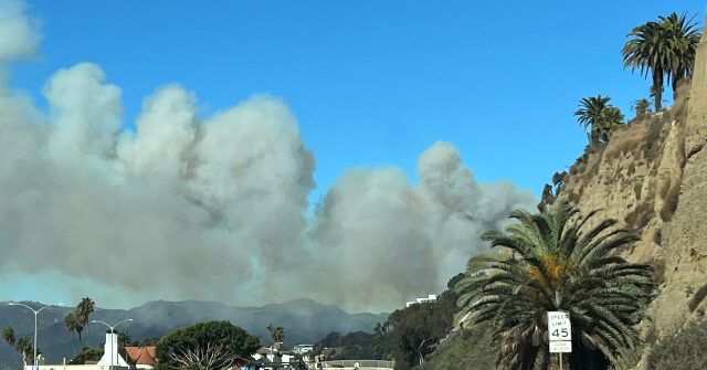
Interactive 3D Map Provides Real-Time View of Palisades Wildfire and Evacuation Zones
CalFire, the California Department of Forestry & Fire Prevention, has released a 3D interactive map that offers a detailed look at the multiple fires raging around Los Angeles. The map shows the perimeter of the Palisades fire and evacuation zones for multiple other fires in Los Angeles. The post Interactive 3D Map Provides Real-Time View of Palisades Wildfire and Evacuation Zones appeared first on Breitbart.

CalFire, the California Department of Forestry & Fire Prevention, has released a 3D interactive map that offers a detailed look at the multiple fires raging around Los Angeles. The map shows the perimeter of the Palisades fire and evacuation zones for multiple other fires in Los Angeles.
The post Interactive 3D Map Provides Real-Time View of Palisades Wildfire and Evacuation Zones appeared first on Breitbart.
What's Your Reaction?


